Dundry Hill
Introduction
The photograph on this page of Dundry Hill by Anthony O'Neil as part of the Geograph project.
The Geograph project started in 2005 with the aim of publishing, organising and preserving representative images for every square kilometre of Great Britain, Ireland and the Isle of Man.

There are currently over 7.5m images from over 14,400 individuals and you can help contribute to the project by visiting https://www.geograph.org.uk
Dundry Hill
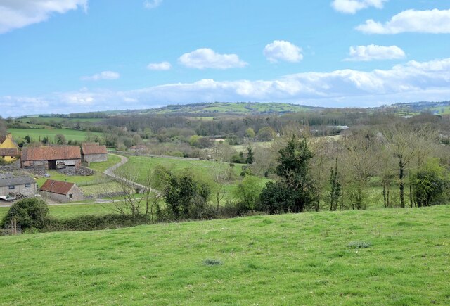
Image: © Anthony O'Neil Taken: 5 Apr 2021
From Kingcott Farm. The local river, Land Yeo, rises on the Hill and flows south of the farm, through neighbouring fields, where it used to power a water mill - now converted to holiday homes.
Images are licensed for reuse under creativecommons.org/licenses/by-sa/2.0
Image Location
Latitude
51.400727
Longitude
-2.640645