Limestone scar
Introduction
The photograph on this page of Limestone scar by Neil Owen as part of the Geograph project.
The Geograph project started in 2005 with the aim of publishing, organising and preserving representative images for every square kilometre of Great Britain, Ireland and the Isle of Man.

There are currently over 7.5m images from over 14,400 individuals and you can help contribute to the project by visiting https://www.geograph.org.uk
Limestone scar
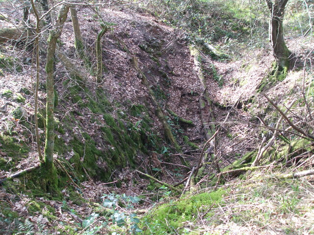
Image: © Neil Owen Taken: 30 Mar 2021
Up on Sandford Hill the limestone surface is rarely far from the soil level. Trees have to cling firmly to the thin earth and in places the ground itself has fallen into a shallow depression.
Images are licensed for reuse under creativecommons.org/licenses/by-sa/2.0
Image Location


Leaflet Map data © OpenStreetMap
Latitude
51.32897
Longitude
-2.827522