Path through Garth Wood
Introduction
The photograph on this page of Path through Garth Wood by Gareth James as part of the Geograph project.
The Geograph project started in 2005 with the aim of publishing, organising and preserving representative images for every square kilometre of Great Britain, Ireland and the Isle of Man.

There are currently over 7.5m images from over 14,400 individuals and you can help contribute to the project by visiting https://www.geograph.org.uk
Path through Garth Wood
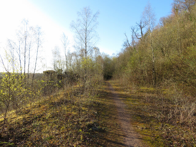
Image: © Gareth James Taken: 6 Apr 2021
In the distance, on the left, can be seen the abutment of the former Walnut Tree Viaduct. This area was the site of railway sidings and the Steetley Dolomite Works.
Images are licensed for reuse under creativecommons.org/licenses/by-sa/2.0
Image Location
Latitude
51.536477
Longitude
-3.263827