All Saints, Spofforth - churchyard wall
Introduction
The photograph on this page of All Saints, Spofforth - churchyard wall by Stephen Craven as part of the Geograph project.
The Geograph project started in 2005 with the aim of publishing, organising and preserving representative images for every square kilometre of Great Britain, Ireland and the Isle of Man.

There are currently over 7.5m images from over 14,400 individuals and you can help contribute to the project by visiting https://www.geograph.org.uk
All Saints, Spofforth - churchyard wall
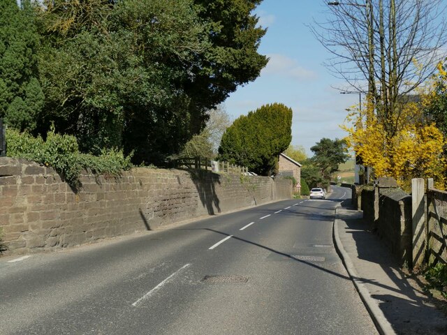
Image: © Stephen Craven Taken: 3 Apr 2021
The tall stone boundary wall of the churchyard alongside Harrogate Road.
Images are licensed for reuse under creativecommons.org/licenses/by-sa/2.0
Image Location


Leaflet Map data © OpenStreetMap
Latitude
53.954354
Longitude
-1.445584