Massey Garth, Spofforth
Introduction
The photograph on this page of Massey Garth, Spofforth by Stephen Craven as part of the Geograph project.
The Geograph project started in 2005 with the aim of publishing, organising and preserving representative images for every square kilometre of Great Britain, Ireland and the Isle of Man.

There are currently over 7.5m images from over 14,400 individuals and you can help contribute to the project by visiting https://www.geograph.org.uk
Massey Garth, Spofforth
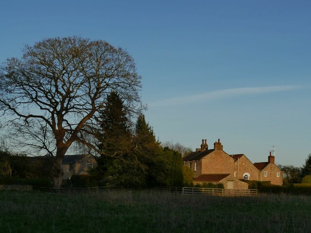
Image: © Stephen Craven Taken: 3 Apr 2021
Although this house dates from the 18th and 19th centuries, it includes remains of the 13th century "chantry house" (the house of a Chantry Priest attached to the nearby parish church), which is why I am including it in the shared description of the church, and why the buildings are grade II listed (list entry 1174615). According to the church guide leaflet, it was used as the village school until the 19th century.
Images are licensed for reuse under creativecommons.org/licenses/by-sa/2.0
Image Location


Leaflet Map data © OpenStreetMap
Latitude
53.953635
Longitude
-1.445441