Nos. 258 and 256 Scalegate Road
Introduction
The photograph on this page of Nos. 258 and 256 Scalegate Road by Luke Shaw as part of the Geograph project.
The Geograph project started in 2005 with the aim of publishing, organising and preserving representative images for every square kilometre of Great Britain, Ireland and the Isle of Man.

There are currently over 7.5m images from over 14,400 individuals and you can help contribute to the project by visiting https://www.geograph.org.uk
Nos. 258 and 256 Scalegate Road
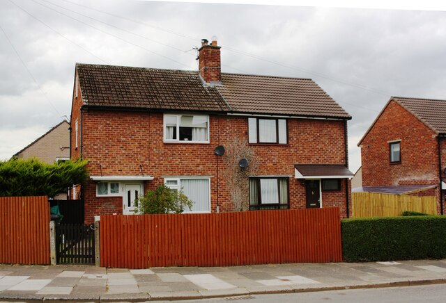
Image: © Luke Shaw Taken: 1 Sep 2020
Ordnance Survey records indicate that a benchmark levelled at 40.471m above Newlyn Datum was verified in 1972 on the side of the left hand house, probably just through the gate to the house's side path. See www.bench-marks.org.uk/bm103414
Images are licensed for reuse under creativecommons.org/licenses/by-sa/2.0
Image Location
Latitude
54.868545
Longitude
-2.92115