Towards the course of the railway
Introduction
The photograph on this page of Towards the course of the railway by DS Pugh as part of the Geograph project.
The Geograph project started in 2005 with the aim of publishing, organising and preserving representative images for every square kilometre of Great Britain, Ireland and the Isle of Man.

There are currently over 7.5m images from over 14,400 individuals and you can help contribute to the project by visiting https://www.geograph.org.uk
Towards the course of the railway
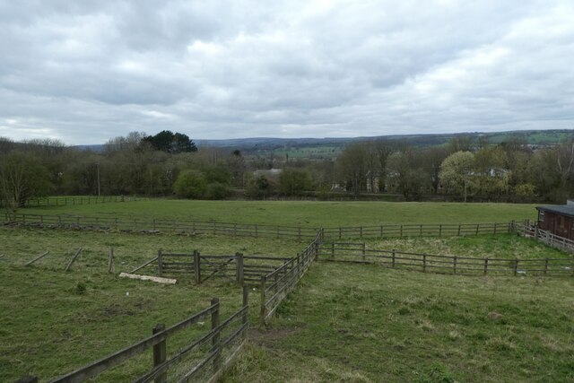
Image: © DS Pugh Taken: 2 Apr 2021
Looking over a field beside West Chevin Road to the embankment of the former Arthington - Otley - Ilkley line.
Images are licensed for reuse under creativecommons.org/licenses/by-sa/2.0
Image Location
Latitude
53.899552
Longitude
-1.707158