Smoke Lane
Introduction
The photograph on this page of Smoke Lane by Ian Capper as part of the Geograph project.
The Geograph project started in 2005 with the aim of publishing, organising and preserving representative images for every square kilometre of Great Britain, Ireland and the Isle of Man.

There are currently over 7.5m images from over 14,400 individuals and you can help contribute to the project by visiting https://www.geograph.org.uk
Smoke Lane
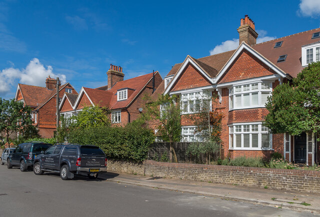
Image: © Ian Capper Taken: 31 Aug 2020
Houses in Smoke Lane. The nearest one here (nos 8 - 10) has a date plaque of 1901, that beyond (nos 12 - 14 - see Image) one of 1900 and that partly seen on the far left (nos 16 - 18 - see Image) one of 1890.
Images are licensed for reuse under creativecommons.org/licenses/by-sa/2.0
Image Location
Latitude
51.230443
Longitude
-0.197226