Ruins near Torrangarbh, Rogart, Sutherland
Introduction
The photograph on this page of Ruins near Torrangarbh, Rogart, Sutherland by Andrew Tryon as part of the Geograph project.
The Geograph project started in 2005 with the aim of publishing, organising and preserving representative images for every square kilometre of Great Britain, Ireland and the Isle of Man.

There are currently over 7.5m images from over 14,400 individuals and you can help contribute to the project by visiting https://www.geograph.org.uk
Ruins near Torrangarbh, Rogart, Sutherland
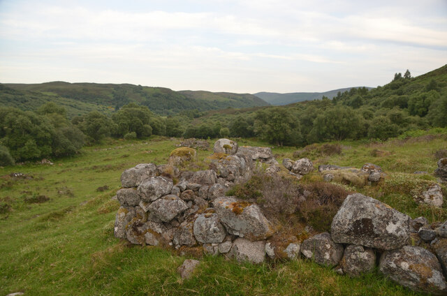
Image: © Andrew Tryon Taken: 25 Jun 2020
A low stone wall, part of the remains of an old building.
Images are licensed for reuse under creativecommons.org/licenses/by-sa/2.0
Image Location
Latitude
58.012946
Longitude
-4.185884