East Allen Dale
Introduction
The photograph on this page of East Allen Dale by Mike Quinn as part of the Geograph project.
The Geograph project started in 2005 with the aim of publishing, organising and preserving representative images for every square kilometre of Great Britain, Ireland and the Isle of Man.

There are currently over 7.5m images from over 14,400 individuals and you can help contribute to the project by visiting https://www.geograph.org.uk
East Allen Dale
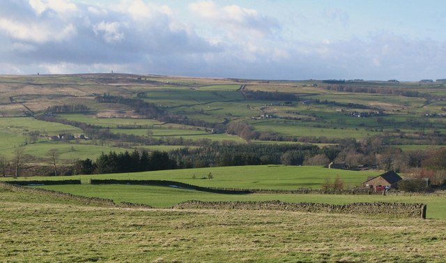
Image: © Mike Quinn Taken: 6 Feb 2008
Looking over Allendale Golf Course across the valley towards the two lead flue smelting chimneys in Image
Images are licensed for reuse under creativecommons.org/licenses/by-sa/2.0
Image Location


Leaflet Map data © OpenStreetMap
Latitude
54.876015
Longitude
-2.24542