
Corfe Castle houses [21]
Introduction
The photograph on this page of Corfe Castle houses [21] by Michael Dibb as part of the Geograph project.
The Geograph project started in 2005 with the aim of publishing, organising and preserving representative images for every square kilometre of Great Britain, Ireland and the Isle of Man.

There are currently over 7.5m images from over 14,400 individuals and you can help contribute to the project by visiting https://www.geograph.org.uk
Corfe Castle houses [21]
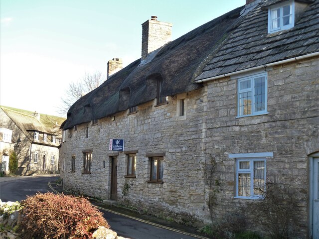
Image: © Michael Dibb Taken: 12 Dec 2020
Numbers 37 and 39 West Street are built as one house, were converted into two cottages and re-converted, extended and restored in 1984. Built in the mid/late 16th century as an open hall house altered in the 17th century when the upper floor was inserted. The house was converted into two in the 18th century. Constructed of rubble stone walls with a thatched roof. The roof has jointed cruck trusses with traces of smoke-blackening. Listed, grade II, with details at: https://historicengland.org.uk/listing/the-list/list-entry/1121008 Dominated by a ruined castle of the same name, Corfe Castle is a village situated in a gap in the Purbeck Hills, some 4 miles south east of Wareham and 4 miles north west of Swanage. There are traces of occupation in the area of all periods since 6,000 BC. The castle dates back to the 11th century and was besieged twice during the Civil War after which it was slighted. Now owned by the National Trust and is open to the public. The heritage Swanage Railway runs through the village.
Images are licensed for reuse under creativecommons.org/licenses/by-sa/2.0
Image Location

Latitude
50.636689
Longitude
-2.058065