Former Sunday school building on Quakers Lane
Introduction
The photograph on this page of Former Sunday school building on Quakers Lane by Stephen Craven as part of the Geograph project.
The Geograph project started in 2005 with the aim of publishing, organising and preserving representative images for every square kilometre of Great Britain, Ireland and the Isle of Man.

There are currently over 7.5m images from over 14,400 individuals and you can help contribute to the project by visiting https://www.geograph.org.uk
Former Sunday school building on Quakers Lane
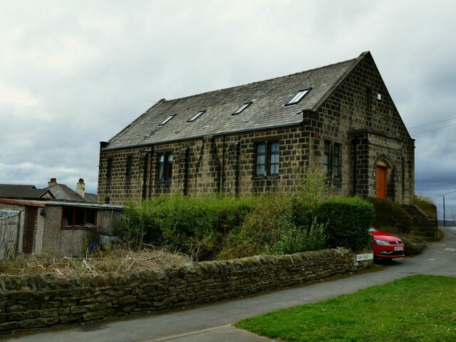
Image: © Stephen Craven Taken: 28 Mar 2021
This is not the Friends' Meeting House that gave its name to the road Image, but a Sunday school of 1913 possibly belonging to it (but I suspect more likely with the Methodist chapel on Harrogate Road, as the Quakers were not usually associated with the Sunday school movement). See also Image
Images are licensed for reuse under creativecommons.org/licenses/by-sa/2.0
Image Location


Leaflet Map data © OpenStreetMap
Latitude
53.855996
Longitude
-1.685722