Cranmer Lane, North Kilworth
Introduction
The photograph on this page of Cranmer Lane, North Kilworth by Stephen McKay as part of the Geograph project.
The Geograph project started in 2005 with the aim of publishing, organising and preserving representative images for every square kilometre of Great Britain, Ireland and the Isle of Man.

There are currently over 7.5m images from over 14,400 individuals and you can help contribute to the project by visiting https://www.geograph.org.uk
Cranmer Lane, North Kilworth
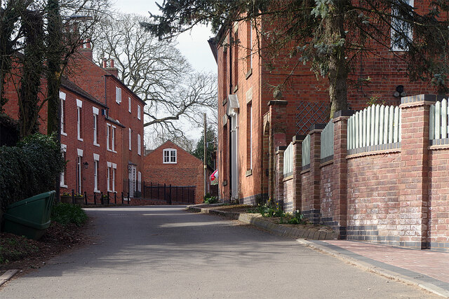
Image: © Stephen McKay Taken: 31 Mar 2021
Cranmer Lane is a quiet road leading off The Green in the centre of North Kilworth down to The Bogs - a former gravel pit now a wetland nature reserve. Until the turnpike road was built in 1755 (now the A4304) it was the road out of the village to Market Harborough.
Images are licensed for reuse under creativecommons.org/licenses/by-sa/2.0
Image Location
Latitude
52.444994
Longitude
-1.092925