
Great Ryburgh village sign
Introduction
The photograph on this page of Great Ryburgh village sign by Adrian S Pye as part of the Geograph project.
The Geograph project started in 2005 with the aim of publishing, organising and preserving representative images for every square kilometre of Great Britain, Ireland and the Isle of Man.

There are currently over 7.5m images from over 14,400 individuals and you can help contribute to the project by visiting https://www.geograph.org.uk
Great Ryburgh village sign
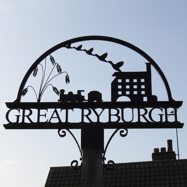
Image: © Adrian S Pye Taken: 31 Mar 2021
The sign is a silhouette style and features some stems of barley which acknowledges the agricultural heritage of the parish and the fact there are a significant maltings here. A train tells us there used to be a railway station here but that went with Dr Beeching’s axe, The service opened in 1857 and the last passenger train departed in October 1964. The last freight train left Ryburgh in August 1981 and the grain for the maltings and the product has had to travel by road ever since. The water mill was demolished a century ago but Mill House is now a care centre. The ducks taking off are rising from the River Wensum as it flows past the village.
Images are licensed for reuse under creativecommons.org/licenses/by-sa/2.0
Image Location

Latitude
52.808164
Longitude
0.906261