The Hyde sorting office
Introduction
The photograph on this page of The Hyde sorting office by David Howard as part of the Geograph project.
The Geograph project started in 2005 with the aim of publishing, organising and preserving representative images for every square kilometre of Great Britain, Ireland and the Isle of Man.

There are currently over 7.5m images from over 14,400 individuals and you can help contribute to the project by visiting https://www.geograph.org.uk
The Hyde sorting office
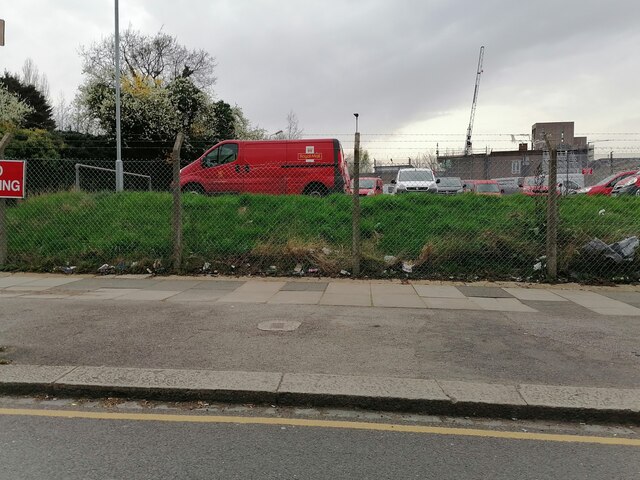
Image: © David Howard Taken: 31 Mar 2021
All London postcodes beyond 1 are in alphabetical order of where their sorting office name is (except NW11 and SE28 which were divided from larger codes, and a new docklands E code). NW9 is The Hyde, which is in the very centre of the postcode so quite correct. It is divided between the boroughs of Brent and Barnet, before 1965 they were Wembley and Hendon.
Images are licensed for reuse under creativecommons.org/licenses/by-sa/2.0
Image Location
Latitude
51.582158
Longitude
-0.246243