Garth Sealing End Compound
Introduction
The photograph on this page of Garth Sealing End Compound by Arthur C Harris as part of the Geograph project.
The Geograph project started in 2005 with the aim of publishing, organising and preserving representative images for every square kilometre of Great Britain, Ireland and the Isle of Man.

There are currently over 7.5m images from over 14,400 individuals and you can help contribute to the project by visiting https://www.geograph.org.uk
Garth Sealing End Compound
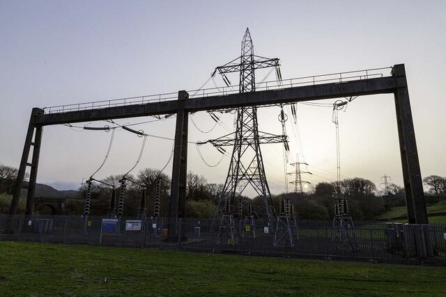
Image: © Arthur C Harris Taken: 1 Apr 2021
Work appears to be in progress constructing site accommodation as part of the project to construct a tunnel below the Dwyryd Estuary to carry electrical infrastructure enabling the removal of the existing pylons. As part of the project an underground buried cable will connect into the existing Garth Sealing End Compound from the tunnel head house on the western side of the Dwyryd Estuary.
Images are licensed for reuse under creativecommons.org/licenses/by-sa/2.0
Image Location
Latitude
52.928192
Longitude
-4.090421