Development site, Freemen?s Way
Introduction
The photograph on this page of Development site, Freemen?s Way by John Baker as part of the Geograph project.
The Geograph project started in 2005 with the aim of publishing, organising and preserving representative images for every square kilometre of Great Britain, Ireland and the Isle of Man.

There are currently over 7.5m images from over 14,400 individuals and you can help contribute to the project by visiting https://www.geograph.org.uk
Development site, Freemen?s Way
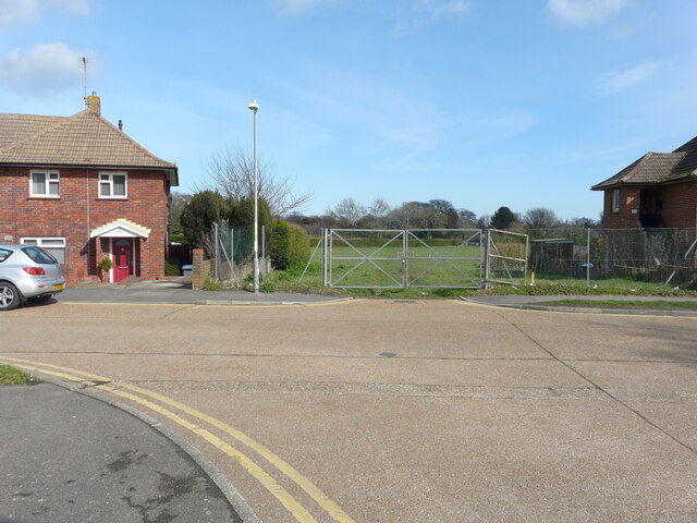
Image: © John Baker Taken: 15 Mar 2021
Planning permission has been granted by Dover District Council under application number DOV/19/00895 for the “erection of 88 dwellings, equipped play area, sports field with 8 15m high lighting columns, erection of club house, associated car parking, hard and soft landscaping (amended documents)”. The site is a former South Deal primary school remote playing field.
Images are licensed for reuse under creativecommons.org/licenses/by-sa/2.0
Image Location
Latitude
51.212344
Longitude
1.388119