Tuesley Lane
Introduction
The photograph on this page of Tuesley Lane by James Emmans as part of the Geograph project.
The Geograph project started in 2005 with the aim of publishing, organising and preserving representative images for every square kilometre of Great Britain, Ireland and the Isle of Man.

There are currently over 7.5m images from over 14,400 individuals and you can help contribute to the project by visiting https://www.geograph.org.uk
Tuesley Lane
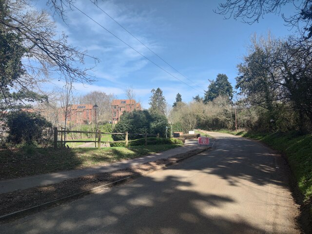
Image: © James Emmans Taken: 30 Mar 2021
The land around Milford Hospital has been developed for residential properties. Flats can be seen in the background.
Images are licensed for reuse under creativecommons.org/licenses/by-sa/2.0
Image Location


Leaflet Map data © OpenStreetMap
Latitude
51.165211
Longitude
-0.625822