
Murieston Water approaching Mid Calder
Introduction
The photograph on this page of Murieston Water approaching Mid Calder by Ian Dodds as part of the Geograph project.
The Geograph project started in 2005 with the aim of publishing, organising and preserving representative images for every square kilometre of Great Britain, Ireland and the Isle of Man.

There are currently over 7.5m images from over 14,400 individuals and you can help contribute to the project by visiting https://www.geograph.org.uk
Murieston Water approaching Mid Calder
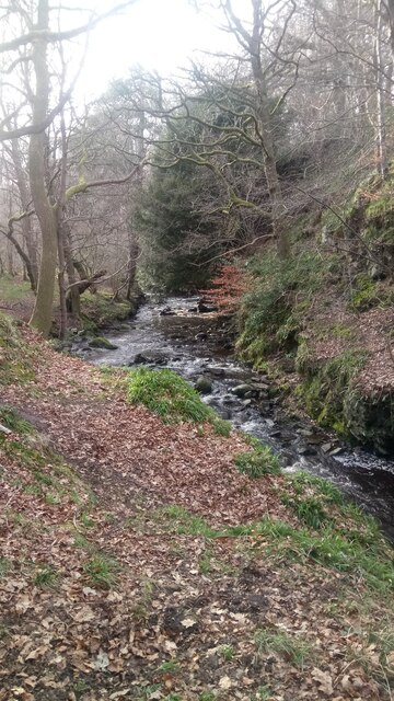
Image: © Ian Dodds Taken: 30 Mar 2021
I always find it much more enjoyable to walk upstream than down. I have decided this is all to do with the relative speed of the water - it appears to run faster than it really is when walking up the way but slower than it really is when walking down. A very muddy path follows the course of the water on this Eastern side with other occasional paths branching off up a very steep slope to Calder Wood.
Images are licensed for reuse under creativecommons.org/licenses/by-sa/2.0
Image Location

Latitude
55.882694
Longitude
-3.483449