Junction of Elm Road and Lovers' Walk
Introduction
The photograph on this page of Junction of Elm Road and Lovers' Walk by Luke Shaw as part of the Geograph project.
The Geograph project started in 2005 with the aim of publishing, organising and preserving representative images for every square kilometre of Great Britain, Ireland and the Isle of Man.

There are currently over 7.5m images from over 14,400 individuals and you can help contribute to the project by visiting https://www.geograph.org.uk
Junction of Elm Road and Lovers' Walk
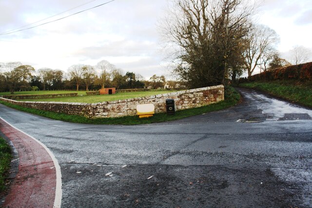
Image: © Luke Shaw Taken: 4 Nov 2020
Ordnance Survey records indicate that a benchmark levelled at 16.263m above Newlyn Datum was verified in 1974 on the wall angle left of the grit bin
Images are licensed for reuse under creativecommons.org/licenses/by-sa/2.0
Image Location
Latitude
54.979975
Longitude
-3.261991