Looking north along Bruce Street
Introduction
The photograph on this page of Looking north along Bruce Street by Luke Shaw as part of the Geograph project.
The Geograph project started in 2005 with the aim of publishing, organising and preserving representative images for every square kilometre of Great Britain, Ireland and the Isle of Man.

There are currently over 7.5m images from over 14,400 individuals and you can help contribute to the project by visiting https://www.geograph.org.uk
Looking north along Bruce Street
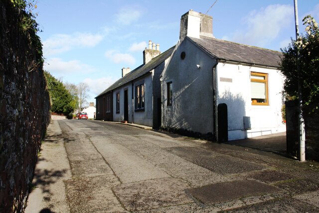
Image: © Luke Shaw Taken: 4 Nov 2020
Ordnance Survey records indicate that a pivot benchmark levelled at 15.263m above Newlyn Datum was verified in 1973 on top of the black-painted stones at the base of the road face of the nearest house, about 2 feet from the black gatepost. See www.bench-marks.org.uk/bm134435
Images are licensed for reuse under creativecommons.org/licenses/by-sa/2.0
Image Location
Latitude
54.989306
Longitude
-3.263534