
Gateway near Higher Lath Farm
Introduction
The photograph on this page of Gateway near Higher Lath Farm by Adrian Taylor as part of the Geograph project.
The Geograph project started in 2005 with the aim of publishing, organising and preserving representative images for every square kilometre of Great Britain, Ireland and the Isle of Man.

There are currently over 7.5m images from over 14,400 individuals and you can help contribute to the project by visiting https://www.geograph.org.uk
Gateway near Higher Lath Farm
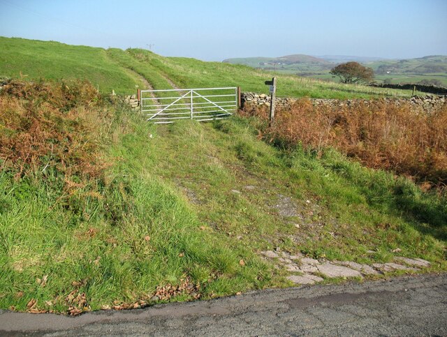
Image: © Adrian Taylor Taken: 10 Oct 2018
The public footpath from Newbiggin to Hollowmire follows the farm track through the gate. It is the route of The Cumbria Way long distance footpath from Ulverston to Carlisle (next photograph Image). This footpath previously left the road at the bottom of the hill at Windy Ash and continued through Newbiggin Farm to rejoin the present route near Stony Crag, but was diverted because a local landowner wanted privacy where the original route passed a dwelling. The revised route offers better views in clear weather and less road walking for those on The Cumbria Way, but it is arguably less interesting.
Images are licensed for reuse under creativecommons.org/licenses/by-sa/2.0
Image Location

Latitude
54.213762
Longitude
-3.110035