Labrador Road from Canada Way, Lower Wick, Worcester
Introduction
The photograph on this page of Labrador Road from Canada Way, Lower Wick, Worcester by Chris Allen as part of the Geograph project.
The Geograph project started in 2005 with the aim of publishing, organising and preserving representative images for every square kilometre of Great Britain, Ireland and the Isle of Man.

There are currently over 7.5m images from over 14,400 individuals and you can help contribute to the project by visiting https://www.geograph.org.uk
Labrador Road from Canada Way, Lower Wick, Worcester
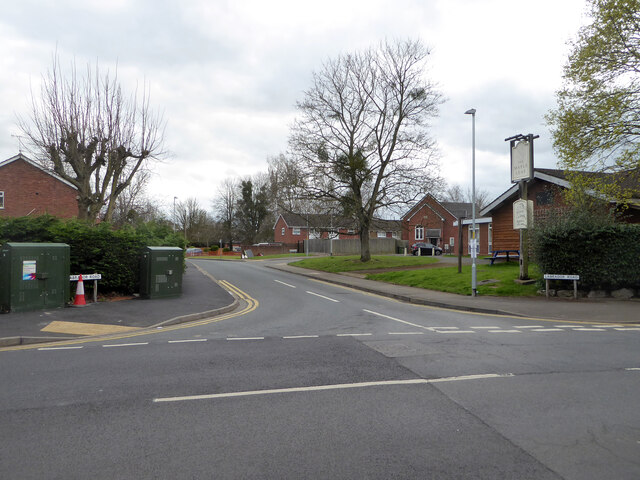
Image: © Chris Allen Taken: 27 Mar 2021
The Maple Leaf public house is on the right. The local streets all have names linked to Canada.
Images are licensed for reuse under creativecommons.org/licenses/by-sa/2.0
Image Location
Latitude
52.173574
Longitude
-2.24006