The Fron
Introduction
The photograph on this page of The Fron by Natasha Ceridwen de Chroustchoff as part of the Geograph project.
The Geograph project started in 2005 with the aim of publishing, organising and preserving representative images for every square kilometre of Great Britain, Ireland and the Isle of Man.

There are currently over 7.5m images from over 14,400 individuals and you can help contribute to the project by visiting https://www.geograph.org.uk
The Fron
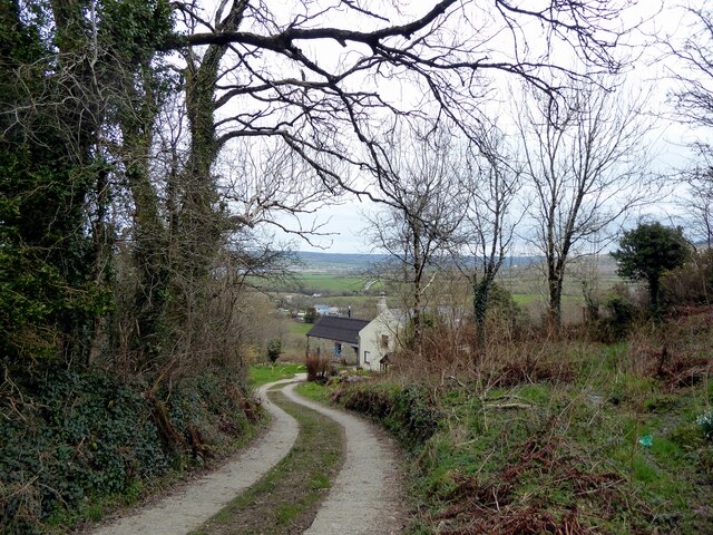
Image: © Natasha Ceridwen de Chroustchoff Taken: 22 Mar 2021
This part of Dinas Cross called Y Fron has been a small outlying settlement of the village since Tudor times. The picture shows Fron Isaf with a distant view towards Newport Bay. The stone building at right angles to the main house was once a smithy.
Images are licensed for reuse under creativecommons.org/licenses/by-sa/2.0
Image Location


Leaflet Map data © OpenStreetMap
Latitude
52.008005
Longitude
-4.889514