Elgin Church South
Introduction
The photograph on this page of Elgin Church South by thejackrustles as part of the Geograph project.
The Geograph project started in 2005 with the aim of publishing, organising and preserving representative images for every square kilometre of Great Britain, Ireland and the Isle of Man.

There are currently over 7.5m images from over 14,400 individuals and you can help contribute to the project by visiting https://www.geograph.org.uk
Elgin Church South
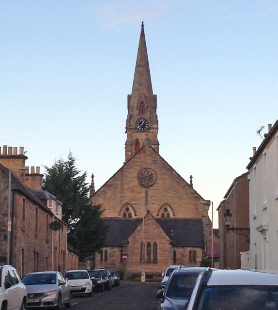
Image: © thejackrustles Taken: 31 Dec 2014
Elgin Church South was built in 1852/4 and is soon to be a climbing centre
Images are licensed for reuse under creativecommons.org/licenses/by-sa/2.0
Image Location
Latitude
57.646244
Longitude
-3.315236