Shortcut path on Raynville Rise
Introduction
The photograph on this page of Shortcut path on Raynville Rise by Stephen Craven as part of the Geograph project.
The Geograph project started in 2005 with the aim of publishing, organising and preserving representative images for every square kilometre of Great Britain, Ireland and the Isle of Man.

There are currently over 7.5m images from over 14,400 individuals and you can help contribute to the project by visiting https://www.geograph.org.uk
Shortcut path on Raynville Rise
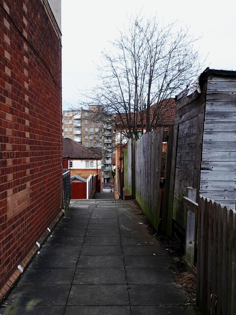
Image: © Stephen Craven Taken: 27 Mar 2021
Raynville Rise would better be called a crescent (although there's already another road called Raynville Crescent), as it curves round through about 240 degrees. This path cuts directly across the eastern end of the curve, making a shortcut for pedestrians from one side of the crescent to the other.
Images are licensed for reuse under creativecommons.org/licenses/by-sa/2.0
Image Location
Latitude
53.809514
Longitude
-1.618643