The lane to Coronation House
Introduction
The photograph on this page of The lane to Coronation House by David Medcalf as part of the Geograph project.
The Geograph project started in 2005 with the aim of publishing, organising and preserving representative images for every square kilometre of Great Britain, Ireland and the Isle of Man.

There are currently over 7.5m images from over 14,400 individuals and you can help contribute to the project by visiting https://www.geograph.org.uk
The lane to Coronation House
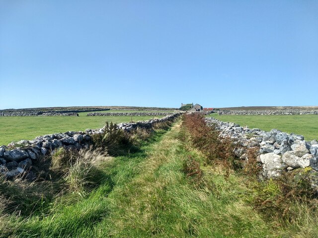
Image: © David Medcalf Taken: 17 Sep 2020
It is fifteen years since I first photographed this farm. The only change seems to be that the ivy has grown over the roof. See: https://www.geograph.org.uk/photo/54186
Images are licensed for reuse under creativecommons.org/licenses/by-sa/2.0
Image Location
Latitude
50.158667
Longitude
-5.608227