Road to Bronsil
Introduction
The photograph on this page of Road to Bronsil by Philip Halling as part of the Geograph project.
The Geograph project started in 2005 with the aim of publishing, organising and preserving representative images for every square kilometre of Great Britain, Ireland and the Isle of Man.

There are currently over 7.5m images from over 14,400 individuals and you can help contribute to the project by visiting https://www.geograph.org.uk
Road to Bronsil
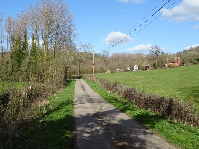
Image: © Philip Halling Taken: 24 Mar 2021
No through road to Bronsil off the A438 near Eastnor. Beacon Farm is on the right.
Images are licensed for reuse under creativecommons.org/licenses/by-sa/2.0
Image Location
Latitude
52.028581
Longitude
-2.369732