The Wilderness
Introduction
The photograph on this page of The Wilderness by Anne Burgess as part of the Geograph project.
The Geograph project started in 2005 with the aim of publishing, organising and preserving representative images for every square kilometre of Great Britain, Ireland and the Isle of Man.

There are currently over 7.5m images from over 14,400 individuals and you can help contribute to the project by visiting https://www.geograph.org.uk
The Wilderness
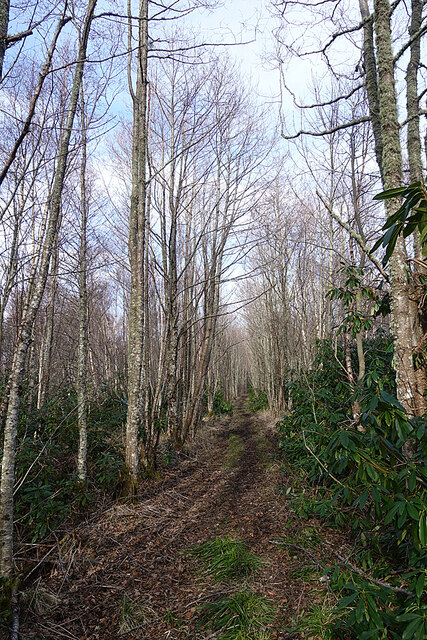
Image: © Anne Burgess Taken: 22 Mar 2021
The Wilderness is a semi-wild area north of the site of Wester Elchies House, which was demolished in the late 1960s. The drive linked the house and the Bridge of Lodges, and it seems to have been maintained to prevent encroachment by vegetation.
Images are licensed for reuse under creativecommons.org/licenses/by-sa/2.0
Image Location
Latitude
57.475549
Longitude
-3.240924