Former Drive
Introduction
The photograph on this page of Former Drive by Anne Burgess as part of the Geograph project.
The Geograph project started in 2005 with the aim of publishing, organising and preserving representative images for every square kilometre of Great Britain, Ireland and the Isle of Man.

There are currently over 7.5m images from over 14,400 individuals and you can help contribute to the project by visiting https://www.geograph.org.uk
Former Drive
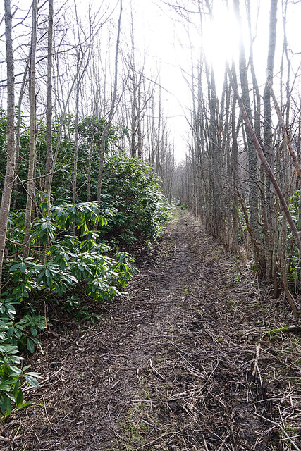
Image: © Anne Burgess Taken: 22 Mar 2021
This was the drive from Bridge of Lodges to Wester Elchies House. It must have been maintained and kept free of encroaching vegetation during the half-century since the house was demolished.
Images are licensed for reuse under creativecommons.org/licenses/by-sa/2.0
Image Location
Latitude
57.476093
Longitude
-3.240442