Fork in the road, Dargate
Introduction
The photograph on this page of Fork in the road, Dargate by pam fray as part of the Geograph project.
The Geograph project started in 2005 with the aim of publishing, organising and preserving representative images for every square kilometre of Great Britain, Ireland and the Isle of Man.

There are currently over 7.5m images from over 14,400 individuals and you can help contribute to the project by visiting https://www.geograph.org.uk
Fork in the road, Dargate
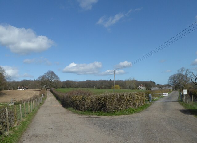
Image: © pam fray Taken: 25 Mar 2021
The left hand road is Holly Hill Road, the right hand track is Red Road, leading to Holly Hill Farm and beyond.
Images are licensed for reuse under creativecommons.org/licenses/by-sa/2.0
Image Location
Latitude
51.302231
Longitude
0.977184