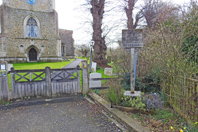
Wetherden village sign
Introduction
The photograph on this page of Wetherden village sign by Adrian S Pye as part of the Geograph project.
The Geograph project started in 2005 with the aim of publishing, organising and preserving representative images for every square kilometre of Great Britain, Ireland and the Isle of Man.
There are currently over 7.5m images from over 14,400 individuals and you can help contribute to the project by visiting https://www.geograph.org.uk

Image: © Adrian S Pye Taken: 14 Mar 2021
It is very difficult to see what is on the sign, it looks just like a plank from a distance. Top left is a ploughed field and a windmill on the horizon. In the centre is the church tower, with farm animals in the foreground. Bottom right is the Baptist chapel. That is about all I can positively identify, which is a pity because I’m sure it has a lot more to show. Inscribed vertically on the post are the words "Erected by Wetherden Gardening Club 1987 based in a design by Stefan Oliver." https://www.geograph.org.uk/photo/4295618 How it should look - https://www.flickr.com/photos/brokentaco/504108932/

