Path behind Gildersome primary school
Introduction
The photograph on this page of Path behind Gildersome primary school by Stephen Craven as part of the Geograph project.
The Geograph project started in 2005 with the aim of publishing, organising and preserving representative images for every square kilometre of Great Britain, Ireland and the Isle of Man.

There are currently over 7.5m images from over 14,400 individuals and you can help contribute to the project by visiting https://www.geograph.org.uk
Path behind Gildersome primary school
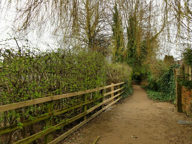
Image: © Stephen Craven Taken: 21 Mar 2021
Comparing old maps, the path used to run further north than this but has been diverted to the south, presumably when the school and its playing fields were opened.
Images are licensed for reuse under creativecommons.org/licenses/by-sa/2.0
Image Location
Latitude
53.756794
Longitude
-1.631254