Wellfield Terrace, Gildersome
Introduction
The photograph on this page of Wellfield Terrace, Gildersome by Stephen Craven as part of the Geograph project.
The Geograph project started in 2005 with the aim of publishing, organising and preserving representative images for every square kilometre of Great Britain, Ireland and the Isle of Man.

There are currently over 7.5m images from over 14,400 individuals and you can help contribute to the project by visiting https://www.geograph.org.uk
Wellfield Terrace, Gildersome
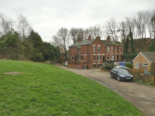
Image: © Stephen Craven Taken: 21 Mar 2021
There is a well shown on old maps, but further up the hill behind the photographer in this view, maybe unrelated to the name of this houses seen here. However the grass bank to the left includes at least six manhole covers, suggesting there's something going on with water supply or drainage here.
Images are licensed for reuse under creativecommons.org/licenses/by-sa/2.0
Image Location
Latitude
53.760115
Longitude
-1.630012