Spillway, Ifield Mill Pond
Introduction
The photograph on this page of Spillway, Ifield Mill Pond by Robin Webster as part of the Geograph project.
The Geograph project started in 2005 with the aim of publishing, organising and preserving representative images for every square kilometre of Great Britain, Ireland and the Isle of Man.

There are currently over 7.5m images from over 14,400 individuals and you can help contribute to the project by visiting https://www.geograph.org.uk
Spillway, Ifield Mill Pond
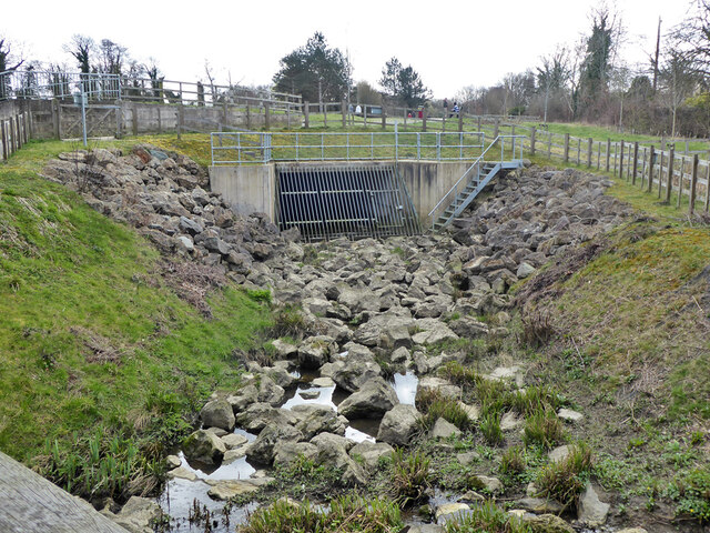
Image: © Robin Webster Taken: 21 Mar 2021
A spillway into Hyde Hill Brook, which thereafter becomes Ifield Brook. Apparently it works only for higher water levels.
Images are licensed for reuse under creativecommons.org/licenses/by-sa/2.0
Image Location
Latitude
51.11384
Longitude
-0.223599