Back Lane, Dalton. Is it public land?
Introduction
The photograph on this page of Back Lane, Dalton. Is it public land? by Dingdong as part of the Geograph project.
The Geograph project started in 2005 with the aim of publishing, organising and preserving representative images for every square kilometre of Great Britain, Ireland and the Isle of Man.

There are currently over 7.5m images from over 14,400 individuals and you can help contribute to the project by visiting https://www.geograph.org.uk
Back Lane, Dalton. Is it public land?
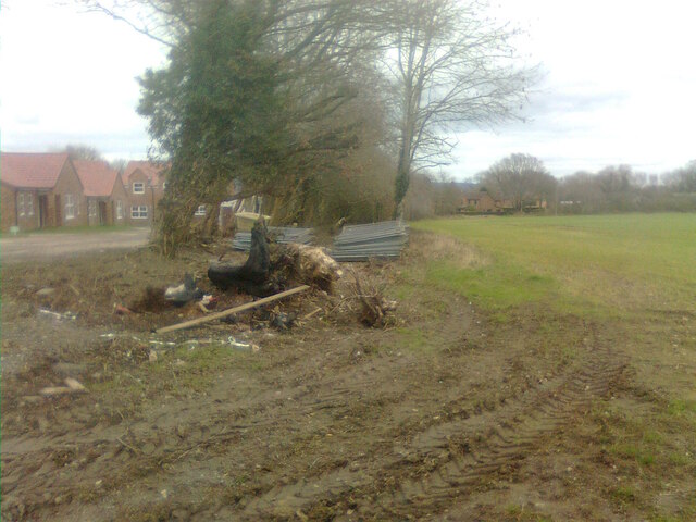
Image: © Dingdong Taken: 5 Mar 2021
Not the only "Back Lane" in Dalton, it is "Back Lane (Track)" according to a current map. Most of it is very overgrown, and at this end is effectively little more than a border between the field to the right and the area of housing to the left. Most of the eastern half of the lane is now similarly overgrown, but to the rear of Garth House, some appears to have been eaten up by hardstanding and industrial buildings . Old maps show it as continuing east and forming a crossroads with an unnamed track which runs north-south from the main road by Ivy House Farm.
Images are licensed for reuse under creativecommons.org/licenses/by-sa/2.0
Image Location
Latitude
54.178881
Longitude
-1.341313