Towards Cribb's Lodge Farm
Introduction
The photograph on this page of Towards Cribb's Lodge Farm by Andrew Tatlow as part of the Geograph project.
The Geograph project started in 2005 with the aim of publishing, organising and preserving representative images for every square kilometre of Great Britain, Ireland and the Isle of Man.

There are currently over 7.5m images from over 14,400 individuals and you can help contribute to the project by visiting https://www.geograph.org.uk
Towards Cribb's Lodge Farm
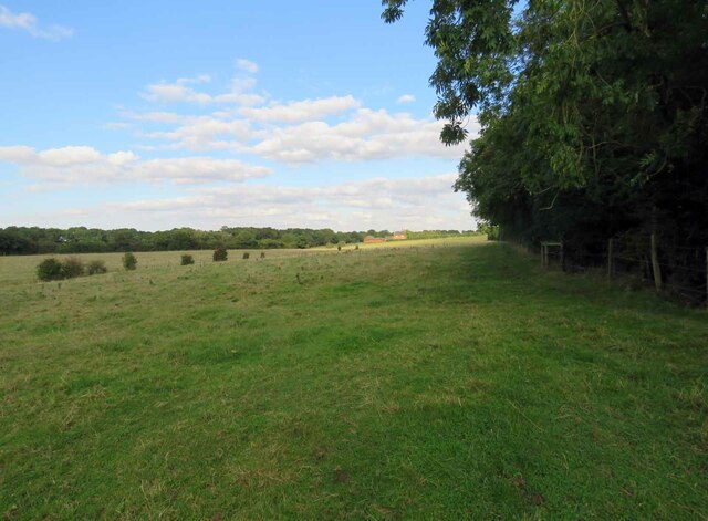
Image: © Andrew Tatlow Taken: 22 Sep 2016
The row of bushes in the middle of the field mark the course of a tributary of the River Witham which has presumably been put in a pipe!
Images are licensed for reuse under creativecommons.org/licenses/by-sa/2.0
Image Location
Latitude
52.757882
Longitude
-0.679824