Path to Mill Farm Close, Dunchurch
Introduction
The photograph on this page of Path to Mill Farm Close, Dunchurch by Stephen McKay as part of the Geograph project.
The Geograph project started in 2005 with the aim of publishing, organising and preserving representative images for every square kilometre of Great Britain, Ireland and the Isle of Man.

There are currently over 7.5m images from over 14,400 individuals and you can help contribute to the project by visiting https://www.geograph.org.uk
Path to Mill Farm Close, Dunchurch
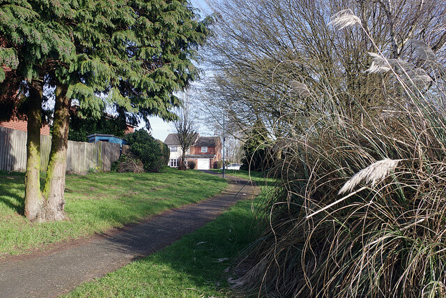
Image: © Stephen McKay Taken: 22 Mar 2021
The path leads off Sandford Way making a convenient short cut across the estate. The house in the picture is typical of those on Sandford Way and associated streets.
Images are licensed for reuse under creativecommons.org/licenses/by-sa/2.0
Image Location
Latitude
52.335257
Longitude
-1.295944