The road from Lambley to Burnfoot
Introduction
The photograph on this page of The road from Lambley to Burnfoot by Oliver Dixon as part of the Geograph project.
The Geograph project started in 2005 with the aim of publishing, organising and preserving representative images for every square kilometre of Great Britain, Ireland and the Isle of Man.

There are currently over 7.5m images from over 14,400 individuals and you can help contribute to the project by visiting https://www.geograph.org.uk
The road from Lambley to Burnfoot
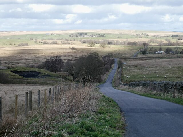
Image: © Oliver Dixon Taken: 24 Mar 2021
Although this might be the shortest way from Lambley to Haltwhistle, it includes some vicious little hills where it crosses side valleys of the South Tyne.
Images are licensed for reuse under creativecommons.org/licenses/by-sa/2.0
Image Location
Latitude
54.921507
Longitude
-2.522943