Townhead - Littleton
Introduction
The photograph on this page of Townhead - Littleton by Chris Newman as part of the Geograph project.
The Geograph project started in 2005 with the aim of publishing, organising and preserving representative images for every square kilometre of Great Britain, Ireland and the Isle of Man.

There are currently over 7.5m images from over 14,400 individuals and you can help contribute to the project by visiting https://www.geograph.org.uk
Townhead - Littleton
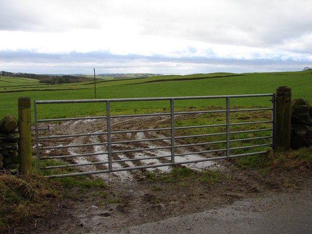
Image: © Chris Newman Taken: 5 Feb 2008
Winter view SSW across the fields from the unclassified Old Military Road between Townhead and Littleton farms. In the distance is Wigtown Bay.
Images are licensed for reuse under creativecommons.org/licenses/by-sa/2.0
Image Location


Leaflet Map data © OpenStreetMap
Latitude
54.871252
Longitude
-4.144739