Farm building at Burnt House
Introduction
The photograph on this page of Farm building at Burnt House by Oliver Dixon as part of the Geograph project.
The Geograph project started in 2005 with the aim of publishing, organising and preserving representative images for every square kilometre of Great Britain, Ireland and the Isle of Man.

There are currently over 7.5m images from over 14,400 individuals and you can help contribute to the project by visiting https://www.geograph.org.uk
Farm building at Burnt House
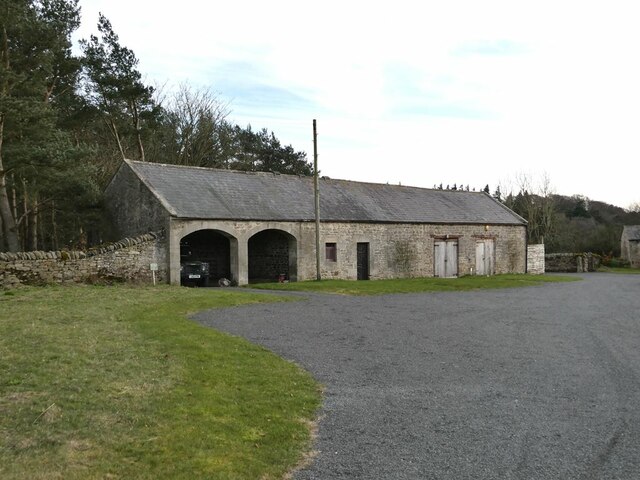
Image: © Oliver Dixon Taken: 20 Mar 2021
Part of the Healey Barn wedding venue complex.
Images are licensed for reuse under creativecommons.org/licenses/by-sa/2.0
Image Location


Leaflet Map data © OpenStreetMap
Latitude
54.922182
Longitude
-1.983275