New Houses, Pantygasseg
Introduction
The photograph on this page of New Houses, Pantygasseg by M J Roscoe as part of the Geograph project.
The Geograph project started in 2005 with the aim of publishing, organising and preserving representative images for every square kilometre of Great Britain, Ireland and the Isle of Man.

There are currently over 7.5m images from over 14,400 individuals and you can help contribute to the project by visiting https://www.geograph.org.uk
New Houses, Pantygasseg
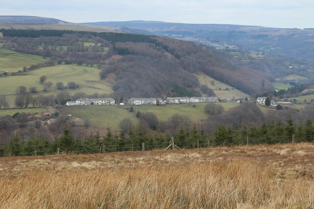
Image: © M J Roscoe Taken: 20 Mar 2021
Hamlet viewed across Cwm y Glyn from Mynydd Llwyd Common. To the right of the row of houses is the green slope of landscaped colliery waste. The woodland behind the houses is on the far side of Cwm Ffrwdoer.
Images are licensed for reuse under creativecommons.org/licenses/by-sa/2.0
Image Location
Latitude
51.692037
Longitude
-3.083693