Alperton - Industrial Estate
Introduction
The photograph on this page of Alperton - Industrial Estate by Phillip Perry as part of the Geograph project.
The Geograph project started in 2005 with the aim of publishing, organising and preserving representative images for every square kilometre of Great Britain, Ireland and the Isle of Man.

There are currently over 7.5m images from over 14,400 individuals and you can help contribute to the project by visiting https://www.geograph.org.uk
Alperton - Industrial Estate
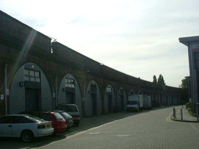
Image: © Phillip Perry Taken: 27 Aug 2007
Rosemont Road off Ealing Road, the railway line on the left is London underground's Piccadilly Line, it would be a lot busier than this, this was taken on a Bank Holiday Monday. Opposite Alperton station.
Images are licensed for reuse under creativecommons.org/licenses/by-sa/2.0
Image Location
Latitude
51.540487
Longitude
-0.29875