Halfway House
Introduction
The photograph on this page of Halfway House by Philip Halling as part of the Geograph project.
The Geograph project started in 2005 with the aim of publishing, organising and preserving representative images for every square kilometre of Great Britain, Ireland and the Isle of Man.

There are currently over 7.5m images from over 14,400 individuals and you can help contribute to the project by visiting https://www.geograph.org.uk
Halfway House
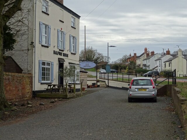
Image: © Philip Halling Taken: 17 Mar 2021
Halfway House beside he A449 at Bastonford. Presumably the name refers to it being halfway between Worcester and Malvern.
Images are licensed for reuse under creativecommons.org/licenses/by-sa/2.0
Image Location
Latitude
52.152452
Longitude
-2.278532