Kinton Lane (Leintwardine)
Introduction
The photograph on this page of Kinton Lane (Leintwardine) by Fabian Musto as part of the Geograph project.
The Geograph project started in 2005 with the aim of publishing, organising and preserving representative images for every square kilometre of Great Britain, Ireland and the Isle of Man.

There are currently over 7.5m images from over 14,400 individuals and you can help contribute to the project by visiting https://www.geograph.org.uk
Kinton Lane (Leintwardine)
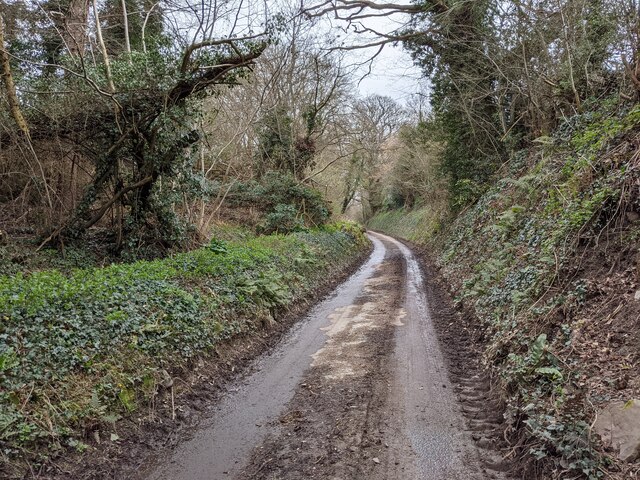
Image: © Fabian Musto Taken: 20 Mar 2021
Here is Kinton Lane outside Leintwardine, situated south of the A4113 road.
Images are licensed for reuse under creativecommons.org/licenses/by-sa/2.0
Image Location
Latitude
52.368948
Longitude
-2.869003