Moordown: McWilliam Road
Introduction
The photograph on this page of Moordown: McWilliam Road by Chris Downer as part of the Geograph project.
The Geograph project started in 2005 with the aim of publishing, organising and preserving representative images for every square kilometre of Great Britain, Ireland and the Isle of Man.

There are currently over 7.5m images from over 14,400 individuals and you can help contribute to the project by visiting https://www.geograph.org.uk
Moordown: McWilliam Road
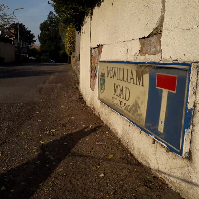
Image: © Chris Downer Taken: 12 Apr 2020
A short road, more of a lane with no pavements either side and ending at an old thatched cottage, one of few very old buildings to survive among the more modern suburbia (see Image). The sign is one of the first to include the borough logo, by the look of it, dating from around 2000. This is photo no.241 of a series of 453 in my coronavirus lockdown walking project: See https://www.geograph.org.uk/article/My-2020-Coronavirus-Lockdown-walking-project for the complete set of photos.
Images are licensed for reuse under creativecommons.org/licenses/by-sa/2.0
Image Location
Latitude
50.753268
Longitude
-1.871658