Sheltering from the neighbours
Introduction
The photograph on this page of Sheltering from the neighbours by Neil Owen as part of the Geograph project.
The Geograph project started in 2005 with the aim of publishing, organising and preserving representative images for every square kilometre of Great Britain, Ireland and the Isle of Man.

There are currently over 7.5m images from over 14,400 individuals and you can help contribute to the project by visiting https://www.geograph.org.uk
Sheltering from the neighbours
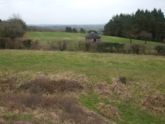
Image: © Neil Owen Taken: 17 Mar 2021
Maesbury Castle stands on part of the Mendip's southern slopes. This view from the south-east entrance includes an area that is thought to have included extra earthworks around it. Part of the approaches are now in the grounds of Mendip Golf Club, who have provided a weather shelter just beyond the fort.
Images are licensed for reuse under creativecommons.org/licenses/by-sa/2.0
Image Location


Leaflet Map data © OpenStreetMap
Latitude
51.221403
Longitude
-2.558108