The edge of Leeds
Introduction
The photograph on this page of The edge of Leeds by Stephen Craven as part of the Geograph project.
The Geograph project started in 2005 with the aim of publishing, organising and preserving representative images for every square kilometre of Great Britain, Ireland and the Isle of Man.

There are currently over 7.5m images from over 14,400 individuals and you can help contribute to the project by visiting https://www.geograph.org.uk
The edge of Leeds
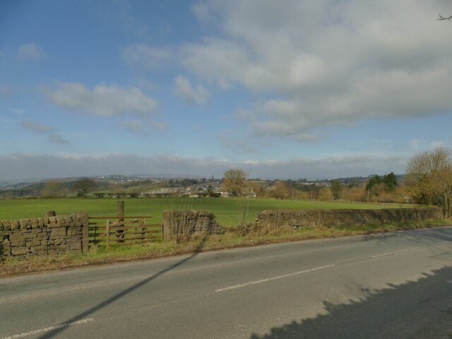
Image: © Stephen Craven Taken: 20 Mar 2021
Apperley Lane is the boundary between Leeds and Bradford council areas. The view is taken from the pavement on the east (Leeds) side, looking across fields on the Bradford side.
Images are licensed for reuse under creativecommons.org/licenses/by-sa/2.0
Image Location


Leaflet Map data © OpenStreetMap
Latitude
53.855654
Longitude
-1.692566