Kinson: Manor Farm Road
Introduction
The photograph on this page of Kinson: Manor Farm Road by Chris Downer as part of the Geograph project.
The Geograph project started in 2005 with the aim of publishing, organising and preserving representative images for every square kilometre of Great Britain, Ireland and the Isle of Man.

There are currently over 7.5m images from over 14,400 individuals and you can help contribute to the project by visiting https://www.geograph.org.uk
Kinson: Manor Farm Road
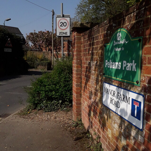
Image: © Chris Downer Taken: 10 Apr 2020
The northernmost part of the Borough of Bournemouth, Manor Farm is at the far end of this sensibly named road. It also leads to the Pelhams leisure centre. The sign is a nonstandard one, similar to several of the standard-issue council signs over the last 20 years or so, but lacking the council logo or name along the top. This is photo no.259 of a series of 453 in my coronavirus lockdown walking project: See https://www.geograph.org.uk/article/My-2020-Coronavirus-Lockdown-walking-project for the complete set of photos.
Images are licensed for reuse under creativecommons.org/licenses/by-sa/2.0
Image Location
Latitude
50.771193
Longitude
-1.902382