West Howe: Mandale Road
Introduction
The photograph on this page of West Howe: Mandale Road by Chris Downer as part of the Geograph project.
The Geograph project started in 2005 with the aim of publishing, organising and preserving representative images for every square kilometre of Great Britain, Ireland and the Isle of Man.

There are currently over 7.5m images from over 14,400 individuals and you can help contribute to the project by visiting https://www.geograph.org.uk
West Howe: Mandale Road
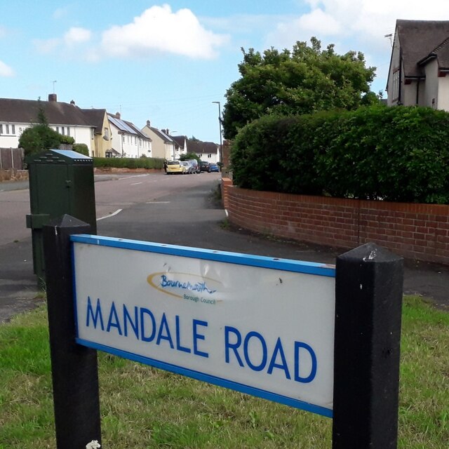
Image: © Chris Downer Taken: 18 Apr 2020
Mandale Road is one of the main roads within the West Howe council estate, and it has an unusual 90º bend here, running ahead and to our right, while to the left the road with vehicle priority continues as Draper Road. The sign is a modern one, from 2010-15 when this more modern, abstract emblem rather than the traditional town coat of arms as the working logo of the council. This is photo no.258 of a series of 453 in my coronavirus lockdown walking project: See https://www.geograph.org.uk/article/My-2020-Coronavirus-Lockdown-walking-project for the complete set of photos.
Images are licensed for reuse under creativecommons.org/licenses/by-sa/2.0
Image Location
Latitude
50.760052
Longitude
-1.915023